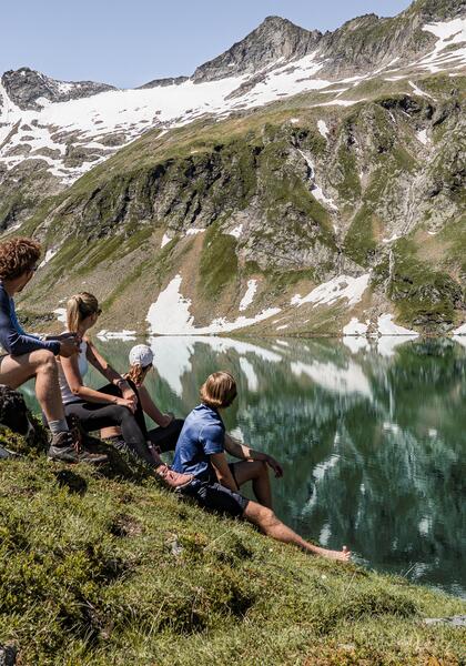
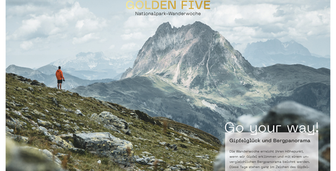
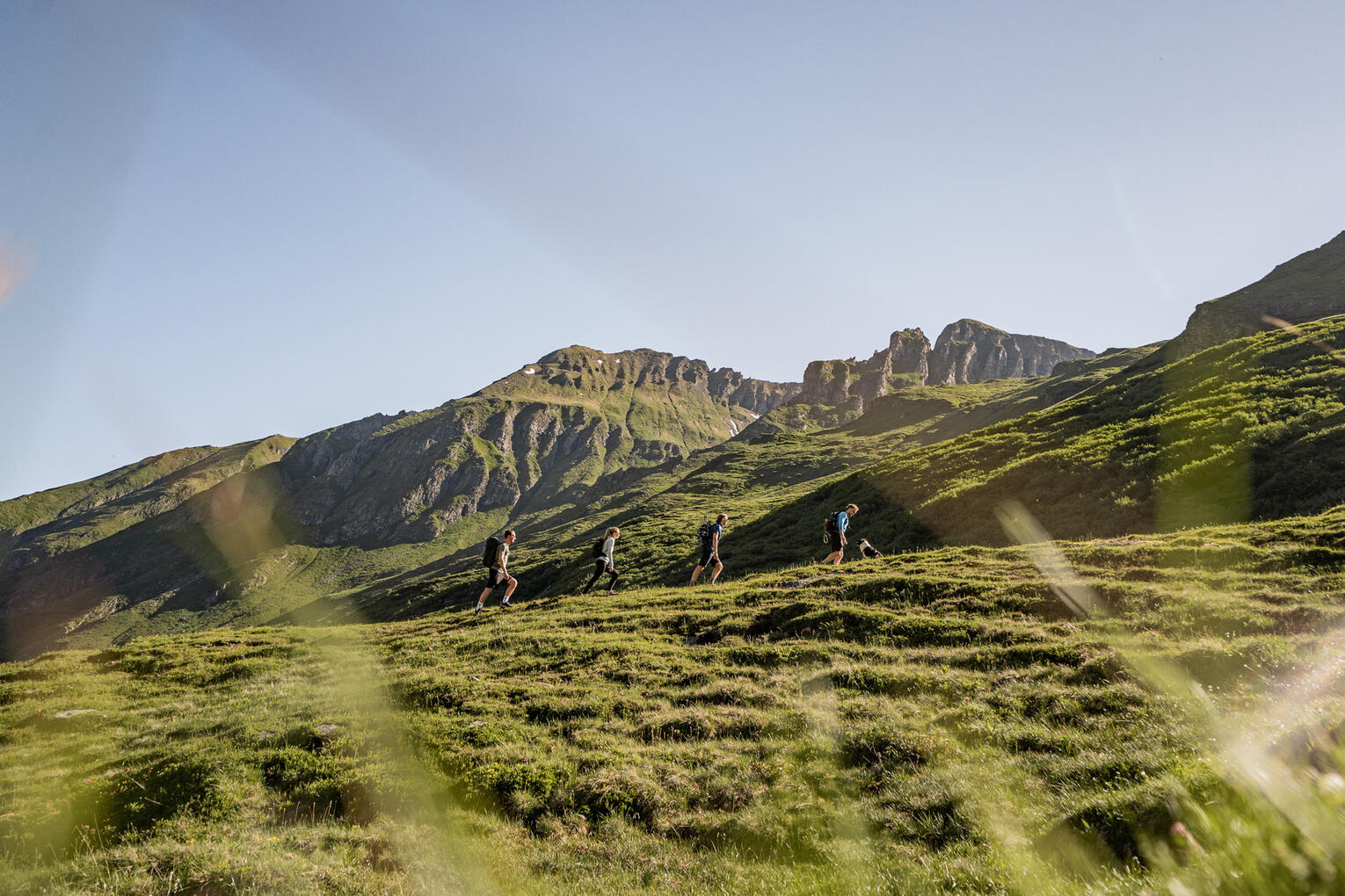
1,856 km² of natural paradise, 366 three-thousand-metre peaks, 551 mountain lakes and 20,000 animal species are waiting to be discovered by you.
Hiking paradise from spring until autumn
Between deep valleys and the highest peaks in Austria, a natural paradise of almost infinite variety opens up to all hiking enthusiasts and outdoor lovers in the Oberpinzgau. Explore the hiking areas around our resorts and enjoy the quality of the prepared hiking trails. In addition, enjoy culinary delicacies at centuries-old alpine huts and admire the spectacular views that await you at every step.
The cleverly developed cable car network in the Kitzbühel Alps offers ideal conditions for a relaxing hiking holiday with your loved ones. Board the gondola directly from the Wildkogel Resorts, lifting you to the starting point of your adventure. On the other side of the valley, in the Hohe Tauern National Park, you hike from green valleys to eternal ice. Crystal-clear rivers, roaring waterfalls and an unbelievable wealth of beautiful mountain lakes bear witness to the abundance of water in the Hohe Tauern! At the end of every mountain tour, you can refresh your tired legs and calves in ice-cold mountain water.
in the Pinzgau region
The highlight of the Tauernhaus tour can be admired right at the beginning: the Krimml waterfalls are the tallest in Austria with a fall height of 380 metres. On the way, you will discover traditional mountain huts prior to reaching the historical Krimml Tauernhaus in the picturesque Achental valley.
- Distance: approx. 10 kilometres
- Highest point: 1,631 metres above sea level
- Difficulty: easy
Without doubt the Krimml waterfalls form one of the highlights in the Hohe Tauern National Park. A circular walk of seven kilometres provides a vivid experience of the spectacle. The spray is said to have greath health benefits.
- Distance: approx. 7 kilometres
- Highest point: 1,489 metres above sea level
- Difficulty: moderate
Seekar, Wildkar and Finkau: these are the three lakes that this strenuous hike, covering substantial elevation gain, leads to. A feeling of peace and vast vistas of the Pinzgau region contribute to the beauty of the tour.
- Distance: approx. 11 kilometres
- Highest point: 2,518 metres above sea level
- Difficulty: moderate
The Obersulzbachtal valley also has three lakes: Seebach, Foisskar and Jaidbach. This hike proves that the Trogtal valley can also provide lonely paths with corries, waterfalls and mountain lakes, which are less well-known than the 3,000-metre-high Grossvenediger and the Grosser Geiger. Fascinating wetlands, Alpine woods and picturesque mountain meadows leading to Lake Seebachsee complete the adventurous landscape.
- Distance: approx. 11 kilometres
- Highest point: 2,083 metres above sea level
- Difficulty: moderate
Setting out from the Berndlalm hut in the Obersulzbachtal valley (which can only be reached on foot or by taxi) the tour joins up the two lakes (Seebachsee and Foisskarsee) and provides a fantastic view of the two corries and the Venediger mountain range at the wind gap.
- Distance: approx. 14 kilometres
- Highest point: 2,095 metres above sea level
- Difficulty: moderate
This hike rewards your labours with a wonderful view of the Zeller See lake and the Hohe Tauern mountain range. You will then realise that hiking in Salzburg Land is always worth your while.
- Distance: approx. 11 kilometres
- Highest point: 1,986 metres above sea level
- Difficulty: moderate
The Hundstein is the highest peak amongst the Salzburg Slate Alps. The interesting paths are frequently steep, yet well-maintained. From the Waldheim inn hikers complete a pleasant and peaceful climb to the Statzerhaus, from where you can enjoy grand views of the southern slopes of the Steinernes Meer and the Hochkönig mountains. Turn your gaze south to take in the Hohe Tauern, particularly the spectacular Grosse Wiesbachhorn and the Hohe Tenn peaks.
- Distance: approx. 11 kilometres
- Highest point: 2.117 metres above sea level
- Difficulty: moderate
On the “sun spot in the Alps” everything is possible: from a family-friendly walk to an exciting themed hike and a challenging Alpine path. From the top you can enjoy a great panoramic view of more than 30 peaks exceeding the magical mark of 3,000 metres as well as views down onto the Zeller See lake.
Recommended photo points: Sonnkogel & Schmitten Café.
For a special highlight: take advantage of the weekly hiking programme for the Schmitten. You are provided with free guided trips and activities including mountain yoga, a mountain walk to the Hochsonnbergalm hut, Alpine yodelling and much more.
The perfect choice for a family vacation. Near the centre of Kaprun you can take the Maiskogelbahn mountain lift to the mountain station at 1,570 metres above sea level. On arrival you are welcomed by a wooden playground, where your kids will love to play. Following some fun on the playground, you can set off on a pleasant walk, a short trip into nature or an extensive hike. Panorama walks, adventure climbs and the opportunity to relax on mountain hut terraces – everything is possible.
Good to know: many paths are buggy-friendly.
From the mountain station of the Panoramabahn Kitzbüheler Alpen, we follow the forest path in the direction of the Panoramaalm. The trail leads us past the reservoir and along the mountain ridge through alpine pastures to the mountain station of the Hartkaser chairlift. From here it is only a stone's throw to the wonderful sun terrace of the Panoramaalm (1,975 m). After a refreshment, continue in the direction of the two-thousand-metre peak, the summit of which can easily be taken on the way to Roßgruber. After the mountain station of the Zweitausender chairlift, the trail first leads downhill and then branches off to the right at a fence in the direction of Roßgruber. Along the fence and over a ridge you reach a promontory, from here you go through a small depression and continue along the steep and narrow southeast ridge to the summit of Roßgruber (2,156 m). From here, a breathtaking panoramic view opens up that will remain in your memory for a long time. The descent follows the same route as the ascent.
- Point of departure: Mountain Station Panoramabahn Kitzbüheler Alpen (1.894 m)
- Height difference: 550 m
- Total walking time: 3:30 hours
- Difficulty: medium
Those who have mastered the physically demanding ascent to the Pihapper (2,513 m) are rewarded with an incomparably spectacular panoramic view in all directions! The starting point of the hike is the Berghof (1,200 m) in Hollersbach. Shortly above, the trail leads moderately steeply and crosses a forest road several times through the forest in the direction of Pihapper. Shortly before the Pölsenalm, the forest thins out and the trail continues in a few loops across the alpine pastures up to a flattened plateau with a few lakes. A detour to the left to Mittersill's local mountain, the Platte (1,787 m), is a good idea here and can be done easily in a few minutes. The path to the Pihapper leads to the right over a moderately and subsequently clearly rising, panoramic ridge to the Pflugsberg (2,415 m). From here you climb out of a boulder hollow southwards through a rock gate and further down over a ridge with a great view into a saddle. From here, the rocky ascent to the summit begins. At about half the height, a small ladder with a wire rope helps you over a jump in the terrain. Once you have mastered this section, it is only a stone's throw to the summit cross!
- Point of departure: Gasthof Berghof (1.200 m)
- Height difference: 1.360 m
- Total walking time: 8:00 hours
- Difficulty: difficult
The Felbertauern, a centuries-old trade route over the main Alpine ridge, leads through the Felbertal valley via the Hintersee lake and the Plattachsee lake. There are two routes for the ascent and descent: The Trassensteig (only for sure-footed and vertigo-free hikers) and through the Trudental (pleasant walking terrain). We choose both routes in this description, of course you can also ascend and descend via the Trudental. From Hintersee (1,313 m) follow the forest road past the picturesque Hintersee, the Gamsblickhütte and the Hinterseealm. You now enter the core zone of the National Park and cross the stream before the trail turns left and leads through a belt of shrubs and meadows to a steep step. The next 100 metres in altitude are breezy. Via small ladders and rope-secured sections, you pass the impressive Schleierfall (veil fall) and head towards the Plattachsee lake. The rest of the way to the St. Pöltner Hütte (2,481 m) leads over well graded, mostly stony terrain and is no longer difficult. For the descent we recommend the route via the Naßfeld and the Trudental!
Important: The ascent via the Trassensteig should only be chosen in fine and dry weather! For particularly sporty and fit hikers, the ascent to the Tauernkogel (2,989 m, hut summit of the St. Pöltner Hütte, additional walking time: 3:15 hours) is recommended.
- Point of departure: Hintersee (1.313 m)
- Height difference: 1.200 m
- Total walking time: 6:30 hours
- Difficulty: medium (Path: difficult)
The hike begins directly at the Felbertauern north portal. The trail initially leads relatively flat into the Keesau, before it splits to the right about halfway and leads steeply in serpentines through a shrub-covered alluvial cone onto a plateau. In a wide left turn, the trail now leads through terrain interspersed with boulders along the north-eastern slope of the mighty Teufelsspitz (2,848 m) and at the end over stepped terrain up to the Amertaler See (2,279 m). From here there are extension options to the Amertaler Höhe (2,841 m) or in the direction of East Tyrol. The descent from the lake follows the ascent route.
- Point of departure: North portal of the Felbertauern tunnel: 1.605 m
- Height difference: 700 m
- Total walking time: 4:00 hours
- Difficulty: medium
The Gaisstein (2,363 m) is the highest grass mountain in the Kitzbühel Alps and also one of the highest grass mountains in Europe. From its summit you not only have a view of the Hohe Tauern and the Kitzbühel Alps, but also of the Kaiser Mountains, the Leoganger Steinberge and the Dachstein Mountains. The hike begins directly behind the Bürglhütte (1,699 m), following the alpine path only briefly and then branching off at the fork in the path towards the Sintersbachscharte. Up to the Scharte, the trail leads through beautiful alpine pastures on a pleasant incline, the panoramic view of the surrounding mountains is a constant companion. From the saddle, the trail becomes steeper towards the summit, and the last 200 metres over the west ridge require surefootedness and a head for heights. The way back leads along the mountain ridge in a southerly direction, with the Bürgelhütte already in view for the most part. The hut terrace is a cosy place to end the hike with a snack or homemade cake.
- Point of departure: Bürglhütte (1.699 m)
- Height difference: 700 m
- Total walking time: 4:30 hours
- Difficulty: medium
You decide in which flat of our three resorts you will stay during your hiking holiday:
The guest and mobility National Park Summercard
No car for a whole week – what a great idea! In the Hohe Tauern National Park you can make this dream come true. The National Park Summercard enables our guests to use all public transport in the Pinzgau region for free. Reach your favourite hiking spots using the national park hiking shuttle, the public bus routes, the Pinzgau Lokalbahn railway and the mountain lifts and cable cars provided in the region. In addition, there are many hiking taxis.
Details
- Valid until 31 October
- Including public transport throughout the Pinzgau region (excluding steam trains and chartered trains)
- Use from the first night of the date of arrival (including your arrival and departure day)
- Services provided by our inclusive partners and a 10% reduction granted by our bonus partners
- 60 attractions in the holiday region
Off to the holiday region Hohe Tauern National Park – and remember to book your holiday apartment in time.


